Find us
These directions to the Botley Hill Farmhouse will get you here by car, bus, train, bike or on foot. We sit on the B269 at the top of Titsey Hill, close to Oxted and Woldingham, with Warlingham a short drive away.
From Woldingham, you can walk (about 1 hour 30 minutes, with steep hills) or cycle (30 to 35 minutes, also steep). Our walks include a route from each station.
Our address
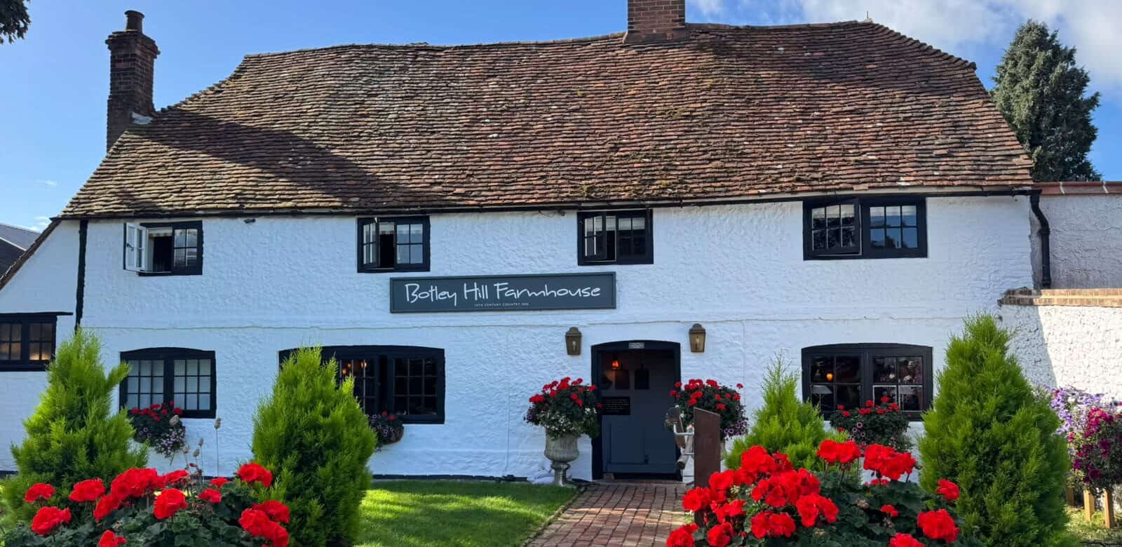
Botley Hill Farmhouse, Limpsfield Road, Warlingham, Surrey CR6 9QH
Directions to the inn on Titsey Hill by car
Look for us on the B269 at the top of Titsey Hill. Sat nav systems do not always send you to the right spot if you use the postcode. If yours gets it wrong, use our co-ordinates instead: 51.281916, -0.001370.
Getting here by public transport
The nearest National Rail stations are Woldingham and Oxted. From Woldingham, you can walk (about 1 hour 30 minutes, with steep hills) or cycle (30 to 35 minutes, also steep). Our walks include a route from each station. From Oxted, the 595 bus runs about every two hours to the top of Titsey Hill. Please check the times on the Surrey County Council website before you travel.
From London
Take a 30-minute train from London to Oxted or Woldingham, then a taxi up the hill. The journey takes about 10 minutes, and at the top you will find views, walks, dinner and lovely bedrooms.
Accessibility
Botley Hill Farmhouse is a historic, listed building. In places you will find low ceilings, uneven floors and split levels. Our hillside location also means some of the grounds are uneven. Please take care when you move around the site.
If you need wheelchair access, or you are visiting with someone less able, use the doors on the right-hand side of the farmhouse. Please ask our staff for help if you need it. Because of the building, there are no dedicated disabled facilities in the inn. If you have any questions before you visit, get in touch and we will help.
Map
Ready to visit? Book a table before you set off.